Description
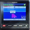
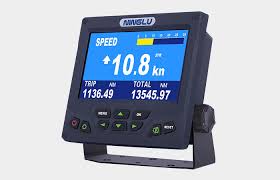
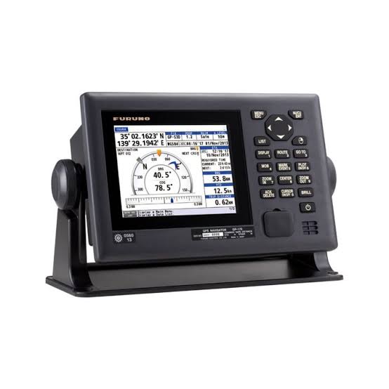
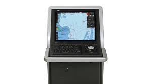
The Electronic Chart Display and Information System (ECDIS) is an IMO-approved, computer-based navigation tool that integrates real-time positioning (GPS), sensor data (radar, AIS, gyros), and Electronic Navigational Charts (ENCs) to replace paper charts. It automates voyage planning and monitoring, offering continuous, automated safety alerts to reduce human error.